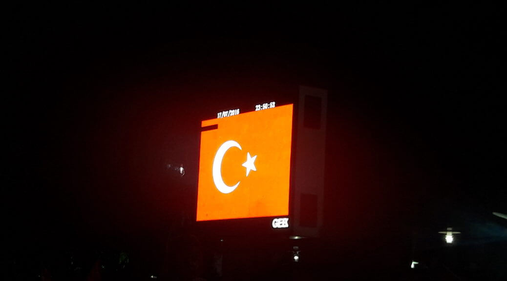
Today’s guest is Akin Unver of Kadir Has University. He uses geospatial data to study political events such as the attempted coup in Turkey in 2016.
The coup was an attempt by certain rogue elements of the Turkish armed forces to oust President Erdogan. However, unlike past coups in 1960, 1971, 1980, and 1997, the Turkish people documented and coordinated their opposition to it on social media in real time, leaving a rich record of events as they unfolded.
Akin’s research, which was featured in an extensive and detailed article for Foreign Affairs, shows how, when, and where the opposition to the coup occurred. He shows, for instance, the importance of mosque networks in coordinating resistance. And while the media put a lot of importance on Erdogan’s personal appeals through FaceTime and Twitter in galvanizing support, the data show that resistance started organically almost as soon as the coup began, hours before Erdogan appeared on television to rally support.
The discussion delves deep into specific details of the coup and the resistance, while also touching on other areas of Akin’s research. Towards the end, we discuss the technical side of working with geospatial data.
Subscribe to Economics Detective Radio on iTunes, Android, or Stitcher.
The post Turkey’s Coup D’état and Geospatial Data Analysis with Akin Unver appeared first on The Economics Detective.

